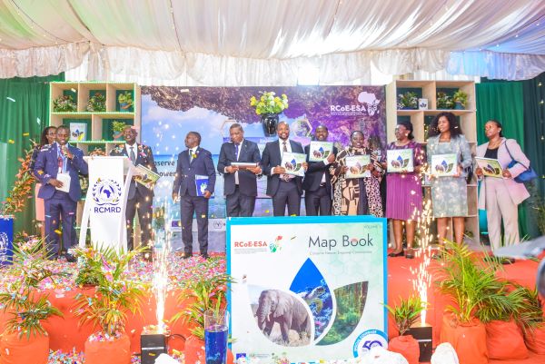
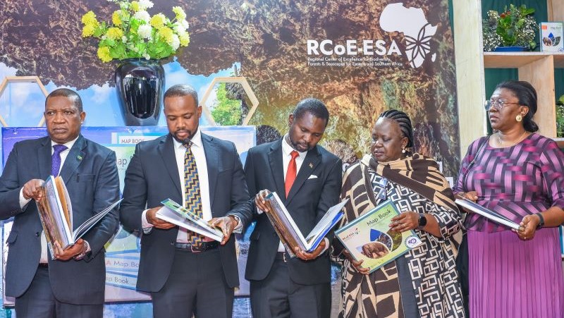
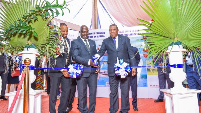
The Regional Centre of Excellence for Biodiversity, Forests, and Seascape Ecosystems Management in Eastern and Southern Africa (RCoE-ESA has launched a groundbreaking Map Book aimed at transforming environmental conservation across the region.
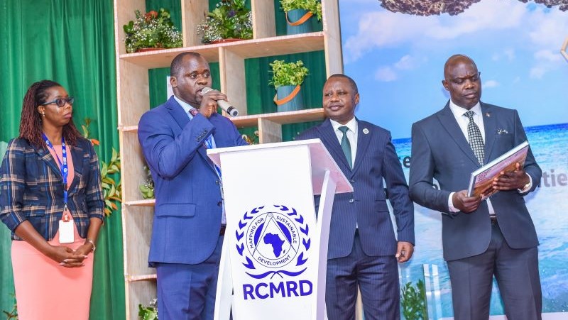
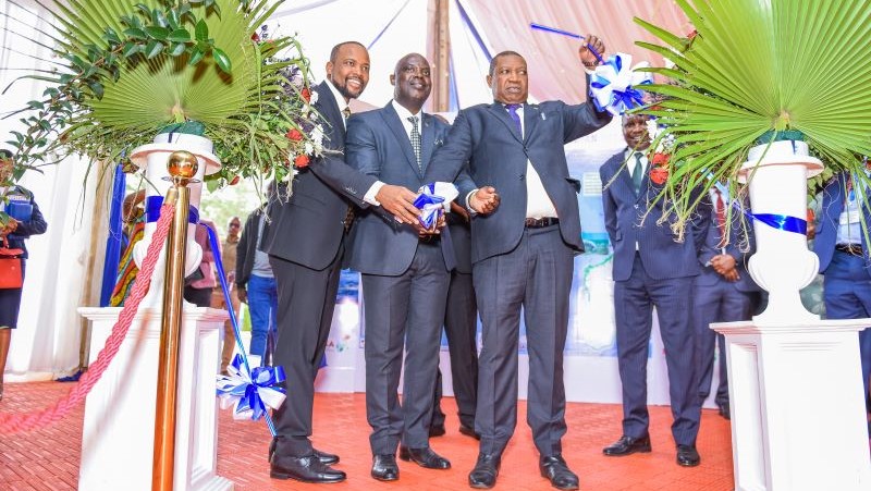
Hosted by the Regional Centre for Mapping of Resources for Development (RCMRD), the unveiling took place on June 16, 2025, during the golden jubilee celebrations marking 50 years of RCMRD’s leadership in geospatial science, earth observation, and capacity building.
Spanning 24 countries in Eastern and Southern Africa, the RCoE-ESA Map Book is a comprehensive geospatial tool designed to enhance data-driven decision-making in conservation and sustainable land and sea use planning.
It features thematic and spatial data that illuminate biodiversity hotspots, assess protected and conserved areas, and map transboundary conservation networks.
The resource also identifies critical gaps in ecosystem protection, offering actionable insights for policymakers, researchers, conservationists, and development stakeholders.
As environmental threats escalate due to climate change, habitat loss, and unsustainable land use, the need for precise, science-based planning tools has become urgent.
The Map Book steps into this gap, enabling more effective conservation strategies through high-resolution maps and detailed analysis. It is both a planning guide and a rallying call for decisive conservation action.
“Geospatial science is a powerful tool for conservation and sustainable development. Through data-driven planning and ecosystem mapping, we can restore biodiversity-rich forests, seascapes, wetlands, and other vital ecosystems,” said Dr. Emmanuel Nkurunziza, Director General of RCMRD.
One of the Map Book’s key features is its contribution to tracking progress toward target 3 of the Global Biodiversity Framework, which calls for conserving 30 percent of the planet’s land and marine areas through Protected Areas (PAs) and Other Effective Area-Based Conservation Measures (OECMs).
By highlighting where progress has been made and where efforts are still needed, the book supports informed policy formulation at both national and regional levels.
The launch aligns with a milestone that celebrates five decades of supporting over 500 million people across its 20 member states through geospatial technology and capacity development.
RCMRD has grown into a trusted institution for environmental data and innovation, and the Map Book is a tangible testament to its legacy and forward-looking vision.
“Indeed, it has been a journey of five decades advancing geospatial excellence for sustainable development. This Map Book is a testament to that legacy,” added Nkurunziza.
Complementing the launch was the ongoing sensitization training workshop on the Integrated Management Effectiveness Tool (IMET), a digital platform used for monitoring and evaluating the performance of protected and conserved areas.
The workshop aims to build capacity among stakeholders to better manage ecosystems and secure long-term ecosystem services for surrounding communities.
With support from development partners and technical teams, this marks a significant leap in using science and technology to guide Africa’s conservation future and sustainable development goals.